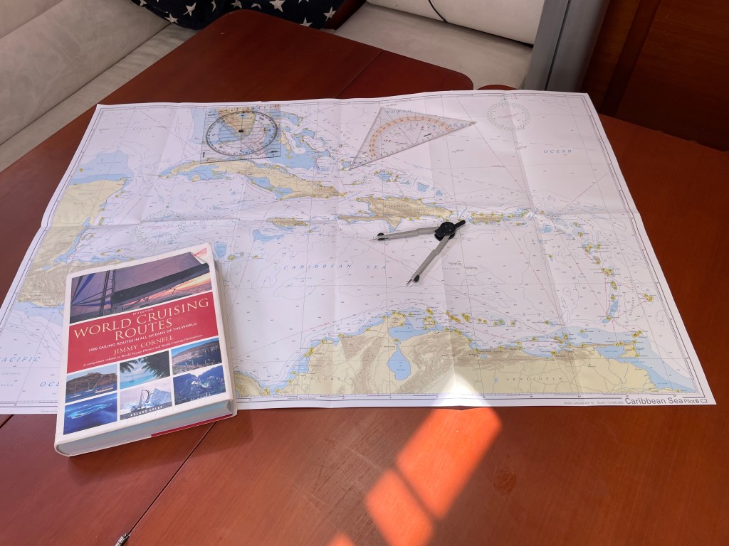
So what can we expect from our Atlantic crossing in terms of weather conditions? Well, it is still too early to get reliable predictions from any of the six sources that PredictWind provide us with. So at this point, we have to look back rather than ahead. What is it usually like at this time of year? What are the prevailing winds? When should we plan on leaving?
Let’s start at the other end. When do we NOT want to be in the Caribbean? The obvious answer is during the hurricane season, which officially runs between 1 June and 30 November. But we also want to enjoy as much as possible of the non-hurricane season in the Caribbean. The rum punch, steel band, snorkelling with turtles and dancing in the sand by the beach bar season. Before we all have to run for cover in June. So we want to get there as soon as we possibly can. But not before the hurricane season is over.
The direct route from the Canary Islands to the Lesser Antilles in the Caribbean is something like 2.500 Nm. But in reality we will probably sail closer to 3.000 Nm. The reason for this spells the Azores High. This is a high pressure system usually located somewhere around the Atlantic island group with the same name. Winds at or near the centre of a high pressure system are generally very light. Not a great place to be if you rely on wind to transport you. This area is called the Doldrums or the Horse Latitudes. The latter name comes from the old days when water shortage onboard becalmed ships meant that something had to go.
Wintertime, the Azores High usually moves a little further south. Towards 30 degrees N. I am at 28 degrees N so if we set off on a direct course towards the Caribbean, we would most likely run into an area with very light winds. Fortunately though, there is almost always wind to be found in a circle around a high pressure system. In the northern hemisphere, these winds move in a clockwise direction and in the southern hemisphere, anti-clockwise. This has to do with the rotation of the earth, or the Coriolis Effect, for you meteorology nerds out there. That means that where I am, in the Canary Islands, we almost always have north-easterly winds. Further south, around Cape Verde, the prevailing winds are from the east. These winds are called the trade winds and they grow more stable in December and January.
If we just set off towards the Cape Verde islands and then turn west we should be getting reasonably consistent tailwinds all the way. In theory. This is in fact the way that we have crossed the Atlantic since the days of Columbus so we have pretty solid data to go on. In the old days, they used to say – ‘go south until the butter melts, then turn right’.
So is that it? Smooth sailing for 18 to 21 days (6-7 knot average speed). Unfortunately not. We will be in the tropics. And everyone that has been in the tropics knows that you frequently get thundershowers. Short affairs, 15-30 minutes usually, that bring a lot of wind and rain. These are known as squalls and usually move in a perpendicular direction to the prevailing winds. They are too small to show up in any of the weather predictions but they are easily spotted from far away. At least during the day. When it is dark you have to rely on detecting the wall of rain on radar or just opt to carry less sail area. We will go for the latter at night.
I don’t want people to think that crossing the Atlantic is ‘a walk in the park’. After all, it is three weeks with nothing but water around. But it’s a lot easier going in this direction. And the worst part of the crossing, the part to the Canary Islands, has already been done. If we just look for a decent weather window in a month or so and resist the temptation to turn west too soon, we should have the makings of a comfortable crossing. After all, men and women have set off on the same journey for over 500 years. And we have the added advantage of being able to get weather updates twice a day and we will produce our own fresh water along the way.
So here’s to ‘fair winds and following seas’. I really can’t wait to get going…


Discover more from Saoirse
Subscribe to get the latest posts sent to your email.

Tjena Tomas. Riktigt kul att följa din blogg även om jag inte är så mycket för segling. Ska bli riktigt spännande att följa när du når mer exotiska platser. Lycka till!!
Mvh
Daniel
LikeLike
Tjena Daniel. Tack. Alltid kul med lite feedback. Det är ju inte så lätt att veta vad läsare tycker. Det blir nog mer exotiskt med tiden. Även om Lanzarote faktiskt ser ut som månen! Bästa. Tomas
LikeLike